


COMPANY INFORMATION
PRODUCTS
MY ACCOUNT
IGN France
War maps
2014 was a commemorative year all through European countries.
IGN FRANCE released special editions to celebrate both anniversary of the first (100 years) and the second (70 years) worldwide war special events:
In 2016 some specific battles are being remembered, for which IGN France published special maps (available as of January 2016):
First Worldwide war anniversary:
Great War 1914 - 1918
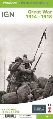
An excellent World War I commemorative map presenting an overview of the Western Front supported by three more detailed enlargements of the main battlefields including the Somme area, and highlighting 15 special Remembrance Trails, remaining trenches, numerous memorial sites, museums, cemeteries, etc.
This map was set up by the IGN in collaboration with the “Mission du Centenaire programme” by the French Government. It has a far more detailed base for presenting all the WWI-related information than found on other maps of the Western Front. A road map of northern France at 1:410,000 shows the whole of the front line in October 1914 from the Swiss border to the coast of Flanders, also indicating the limit of the German advance and the eventual Armistice line of 11.11.1918. Three panels provide more detailed enlargements at 1:290,000: the Béthune - Péronne area including the Somme battlefields, Arras and Vimy Ridge; the Reims - Compiègne area with Chemin des Dammes; plus Verdun.
Both the main map and the enlargements indicate numerous memorial locations, including several commemorative tours by car, train, bicycle or walking, e.g. The Front route between Ypres and the Somme, a 92-km Albert - Thiepval - Péronne route through the main Somme battlefields, The British Circuit of Remembrance and The Victoria Cross routes near Soissons, etc. 15 tours have brief descriptions with website addresses and some with QR codes for downloading further information. Also provided is a year-by-year list of the principal Western Front battles with each entry cross-referenced to its location on the main map. Map legend and all the text are in English, French and German.
PLEASE NOTE: although the map covers the whole of the Western Front, including Flanders with Ypres and Passendale, the overprint within Belgium is more limited – the map is designed to provide information mainly within France.
- Scale: various scales
- Product: double sided map
- Languages: French, German, English
- Order Code: IGN.EV.87014
- ISBN: 9782758532439
Commemorative maps for the 100th anniversary of the:
Battle of Verdun 1916
Battle of the Somme 1916
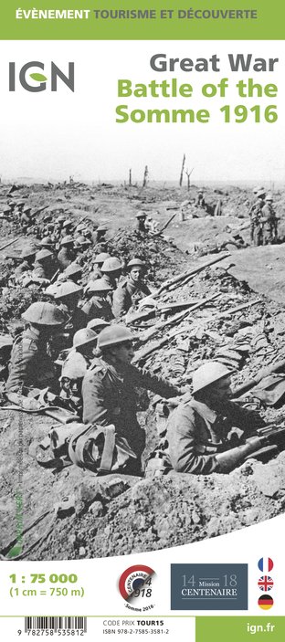
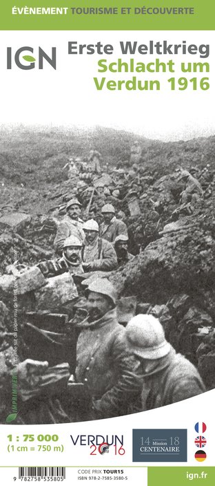
New exclusive, must have for remembrance tourism
Precise cartography of the battles:- General map at scale 1:75,000
- Zoom on the most important battle area at scale 1:35,000
Historical information:
- Military remains
- Front lines
- Important fights
Tourist information:
- Tourist routes
- Memorials
- Museums
Bilingual cover:
- French and German (Verdun)
- French and English (Somme)
- Legend and editorials in 3 languages: French, German and English
Normandy D-Day
June 6, 1944
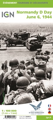
Commemorative map for the 70th anniversary of the D-Day landings in Normandy on 6th June 1944, presenting in three large panels various grouping of the Allied Armies and the defending German forces, the changes in the front lines between 6th June and 18th August, and present day commemorative sites and monuments, plus additional bilingual notes.
The main panel at 1:100,000 shows the five beaches: Utah, Omaha, Gold, Juno and Sword together with the command structure and the disposition of the Allied Forces, from General Eisenhower to individual units including the supporting airborne divisions, and the defending German forces, plus indicates beach heads and the front line 24 hours later.
A smaller panel at 1:500,000 shows the whole of the Cotintin Peninsula indicating changes in the front line between D-Day and 18th August 1944. Another large panel at 1:250,000 shows north-western Normandy, including Caen and Bayeux, indicating museums, war memorials, military cemeteries and other WWII related information including a suggested tour of the five beaches. Also provided is a map showing the disposition of the armies on both sides of the Channel prior to D-Day, General Eisenhower’s proclamation to the Allied Expeditionary Force, and notes on the Operation Overlord. Map legend and all the text in three languages : French, English and German.
- Scale: Various scales
- Product: double sided map
- Languages: French, German, English
- Order Code: IGN.EV.87044
- ISBN: 9782758532446
< Previous
Next >
< Back to overview maps