


COMPANY INFORMATION
PRODUCTS
MY ACCOUNT
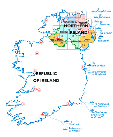
OSNI: ORDNANCE SURVEY of NORHTERN IRELAND
DISCOVERER MAP SERIES
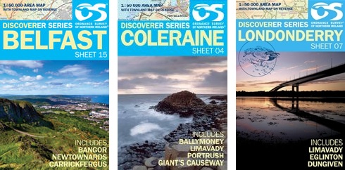
The Discoverer map series from the Ordnance Survey of Northern Ireland, presents the country on detailed topographic maps at 1:50,000.
Graphics indicate different types of woodlands. Road network grades minor roads according to their widths, includes local tracks and shows gradients on steep routes. Railways are shown with stations. An overprint highlights way marked walking trails as well as cycle routes of the Sustrans National Cycle Network. Places of interest are prominently highlighted and a range of symbols provide other tourist information including camping or caravan sites and youth hostels, bus stations, parking, picnic areas, viewpoints, golf courses, etc.
< Previous
Next >
< Back to overview maps